WELCOME TO

BRINGING YOU THE WORLD. ONE CLIP AT A TIME. |
THE PASO DEL NORTE OZONE MAP PROJECT.
Click on any picture window to find out
more about the project and to view video clips.
The Clips are loaded in Quicktime format
which is available at no charge for PC and Macintosh. |

The Ozone Map Project.
Click on the pictures below to see videos on specific topics.

The Ozone Map Project provides weathercasters
with the
latest information about ozone levels.

White Sands National Monument is part of the
desert region that is monitored by the Ozone
Map Project.
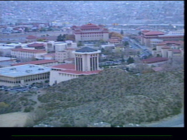
The Paso Del Norte Ozone Map Project is developed
at the
University of Texas El Paso in association
with the EPA.
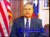
U.S. Congressman Silvestre Reyes supports The Ozone Map Project.

Texas State Senator Eliot Shapleigh recognizes the need
for project funding.

The Ozone Map Project is an excellent model for the future.

Two Nations working together.
FOR MORE INFORMATION ON THE PASO DEL NORTE
OZONE MAP PROJECT PLEASE VISIT THE OZONE MAP PROJECT SITE AT:
http://www.ozonemap.org